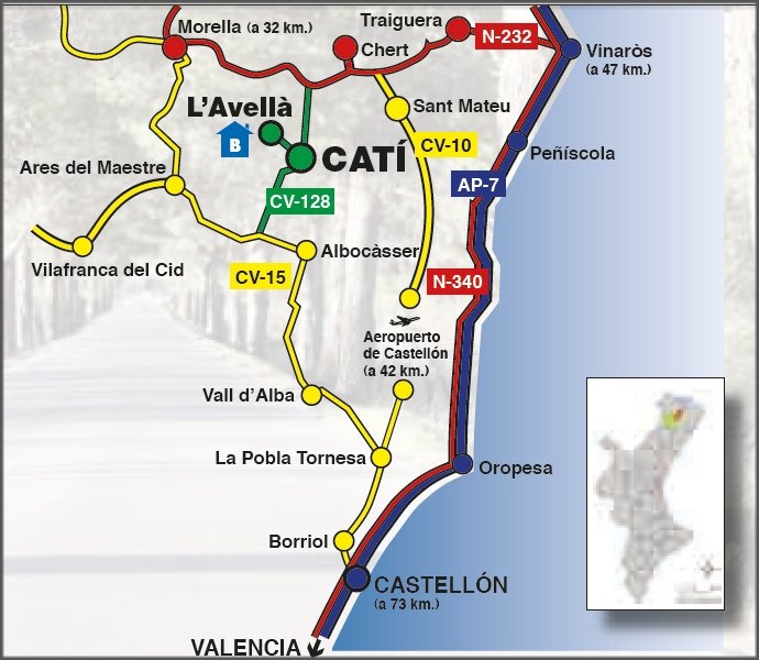
HOW TO ARRIVE
CATÍ in the GOOGLE.MAP (you can zoom in and out the image, switch to satellite or
Google Earth in 3-dimensions)
|
Catí
ARRIVING TO CATÍ: |
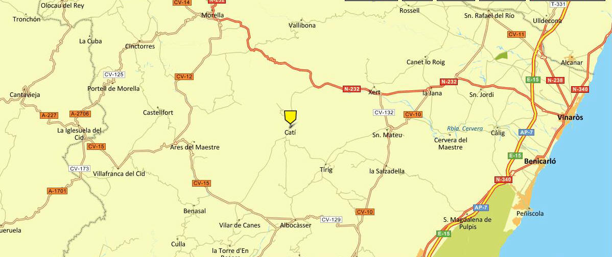
NORTH:
From de motorway AP-7 (56 km)
Motorway exit AP-7- Vinaròs/Ulldecona (Nº42)
Ulldecona- Sant Rafel del Riu (N238) y (CV-11)
Sant Rafael- Traiguera (CV-11)
Traiguera- Catí -Forward (N-232)
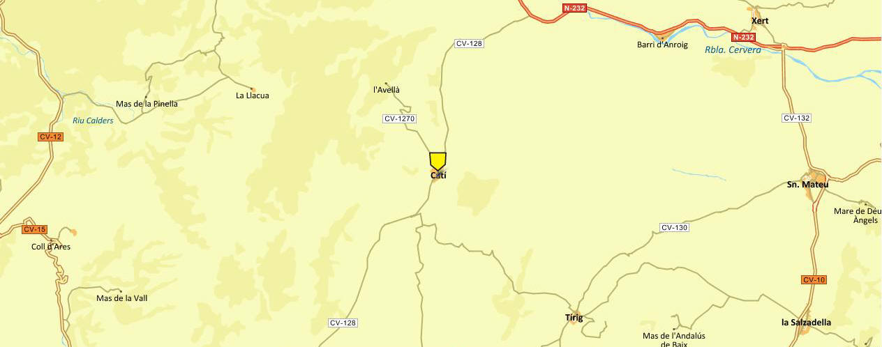
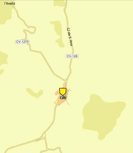
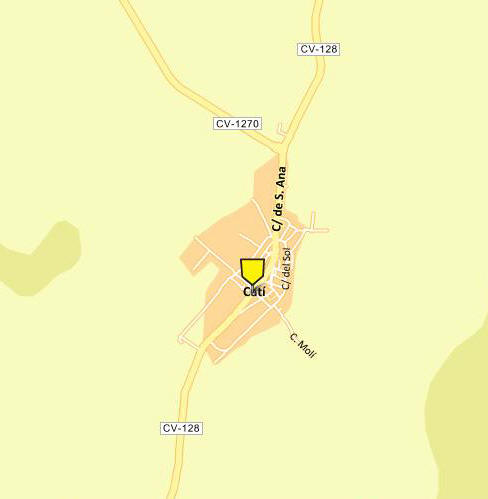
Catí (CV-128)
From Vinaròs (46,8 km)
N-232 Towards Morella
Follow the N-232 to the turnoff to Catí by CV-128 (38 km)
Towards Catí- Catí (CV-128): 8 km
SOUTH:
València (V-21)
Motorway (AP-7) (Castelló- Sud-Exit) o (CV-10) o (N-340)
Find Out Borriol/Pobla Tornesa
Highway to la Pobla Tornesa (CV-151) - (CV-10)
Pobla Tornesa- Forward Cati (CV-15)
Towards Catí- Catí (CV-128) (13 km)
By bus
With Bus from Castelló: (Castelló - Sant Mateu- Catí)
Monday to Saturday go up a bus MEDITERRANEO'S company (Tlf: 964 21 45 32 ) from Castellón to Sant Mateu. Leaves the station at 18:00 hand reaches at 19:30 h Then you must to change traim and take de bus of the same company that comes from Vinarós to Catí direction.
By Bus from Vinaròs: (Vinaròs - Sant Mateu- Catí)
Monday to Saturday, go up a bus MEDITERRANEO' Company (Tlf: 964 21 45 32 ) that leaves the station at 18.15 h. and arrives to Catí at 20.00 h.
By Taxi: Tel. 964.40.90.87
MAPS
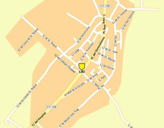
|
Catí |
| — Municipality Inland township |
|
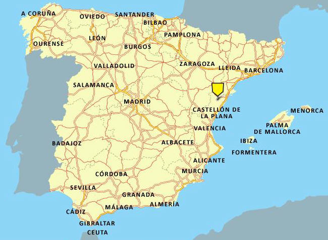
Location in Spain |
|||||||||||||||||||||||||||||||||||||||||||||||||||||||||||||||||||||||||||||||||||||
|
Coordinates:
40°28′17″N 0°1′20″E
/ 40.47139°N 0.02222°E
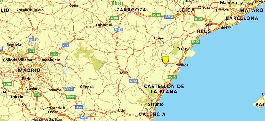
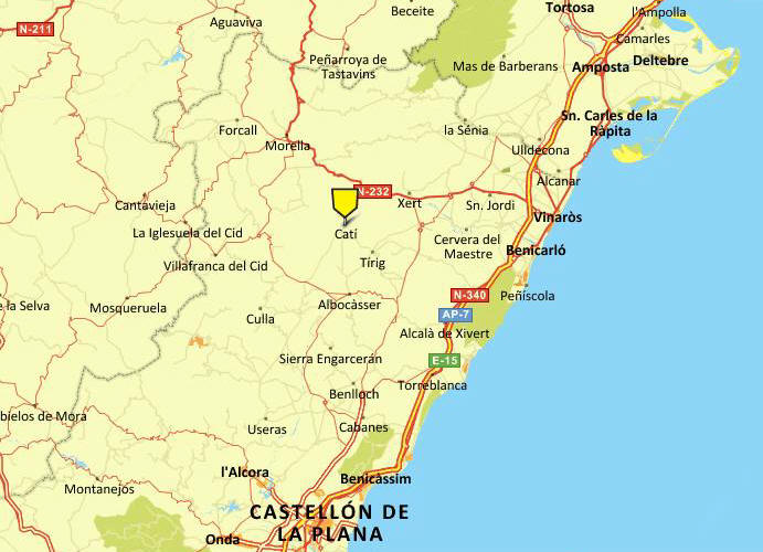
Catí is a municipality in the comarca of Alt Maestrat, Castellón, Valencia, Spain.
GeographyCatí is situated at 661 metres (2,170 ft) above sea level, half of a broad valley which is called "the corridor Catí" in the region of Alt Maestrat, geographically to the boundary between Ports, region to which it belonged historically, and the Baix Maestrat, the centre of the mountainous area that connects El Ports of Morella with saws of Maestrazgo (saw Vallivana, Tosal of the Fridge and Barbuda)
History:King James I granted Ramón de Bocona and 40 settlers a Municipal Charter to establish Catí in 1239. It quickly grew to become a small village in the Morella region, and became independent in 1691. Since medieval times, Catí has been known for its livestock and wool trade, which made the town one of the richest in the region. On January, 25th in 1239 Catí was given to populate by Blasco of Alagón to Ramon de Bocona and to forty residents more, this fact was confirmed by the king D. Jaime. For the surnames of those neighbors are supposed to come from the land of Lleida. Fidelity was his main virtue which is recognized in his shield weapon whose main figure is walking a dog, a symbol of loyalty active. Catí has participated in many historic events had taken part of Morella. Catí take part in the conquest of Mazalquivir, Oran and Spark Plug, in the Nave of Bayle of Morella. This despite the fact that the town of Catí, along with other villages, began in 1292 a lawsuit against Morella, who did not complete until 1691 were granted independence. Nowadays, Catí’s primary economic activity is based around livestock, and the town contains a feed factory and a cheese factory, as well as bottling and furniture production facilities.
Catí’s charms include the attractive medieval features of its buildings, with stone arch doors, large gothic windows, and the coats of arms of noble houses, including the Lonja House (also known as the Casa de la Vila), the Miralles’ House, Delme, the Monserrats’ House, and the Casa de la Plaza. Its gothic church, famous for an altarpiece painted by Jacomart and dedicated to San Lorenzo and San Pedro de Verona, was constructed beginning in the 14th century. These historical features led Catí’s town centre to be declared a National Heritage Site. Two valleys, La Font de Catí and Cirers, shape Catí’s municipal district. The village’s average elevation is 650 meters above sea level, although the district also includes Tossal de la Nevera, one of the highest mountain in the province.
Neighborhoods and parishes In the municipality of Catí is also the following towns:
The municipality of Catí limited to the following locations: Ares del Maestre , Morella, Chert, Tírig, Salsadella, Sant Mateu and Albocácer all of them in the province of Castellón.
Airport Castellón: 42 Km Airport
Valencia 137.4
km Zaragoza 200.2 km Nuclear
power station
Vandellòs Nuclear Power Plant
139.1
km
Catí Distance
Catí Nearby cities and villages
Retablo de Jacomart ►
Accommodation Hiking
|
|||||||||||||||||||||||||||||||||||||||||||||||||||||||||||||||||||||||||||||||||||||